Lake Huron
Cedarville
Depth 50-110ft/ Length 588ft/ steel propeller/ Built 1927/ Sunk May 7, 1965 in collision with Topdalsfjord.
The demise of massive bulk freighter Cedarville happened in the modern days, with both radar and VHF radios available on board. Cedarville was on route from Rogers City to Gary, Indiana with a cargo of limestone. At 9:30 in the morning and encountering very thick fog usual for that area, the Captain of Cedarville established radio contact with the German vessel, travelling in the opposite direction. As soon as German vessel passed under the bridge, they reported seeing another vessel (that did not establish radio contact) travelling ahead of then and heading straight for Cedarville.
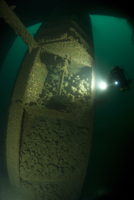
On hearing the news of a mystery vessel, Cedarville tried to slow down, but it was too late as the mystery vessel (Topdalsfjord, sailing under Norwegian flag) emerged out of the fog and sliced Cedarville almost in half striking between holds #7 and #8. The Captain attempted a run for Mackinaw City but only made it half way (2 miles from collision point) at which point Cedarville leaned starboard and sunk. All crew ended up in the water, but the German vessel that warned them earlier came to scene shortly and picked up the survivors (10 lives were lost). Ironically, had the captain attempt to beach the Cedarville on the Northern side of the straits (at St. Ignace, 2 miles form collision point), they would have likely made it.
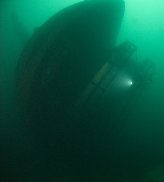
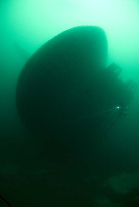
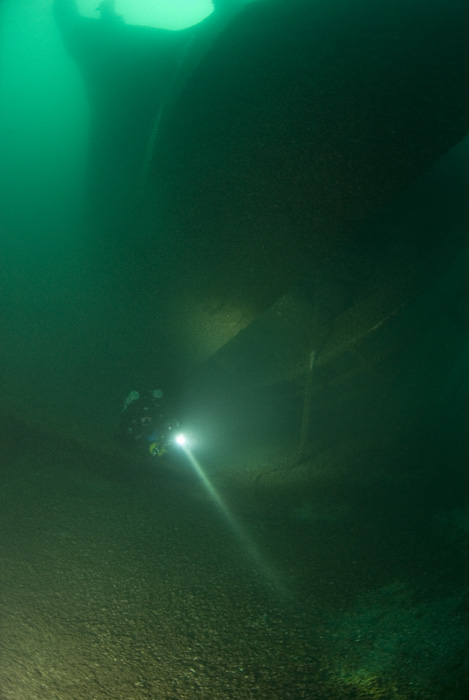
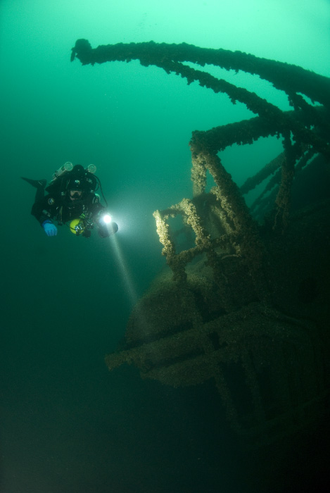
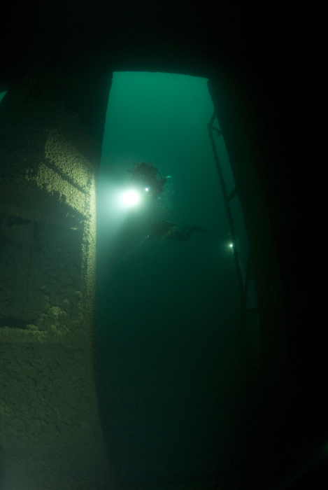
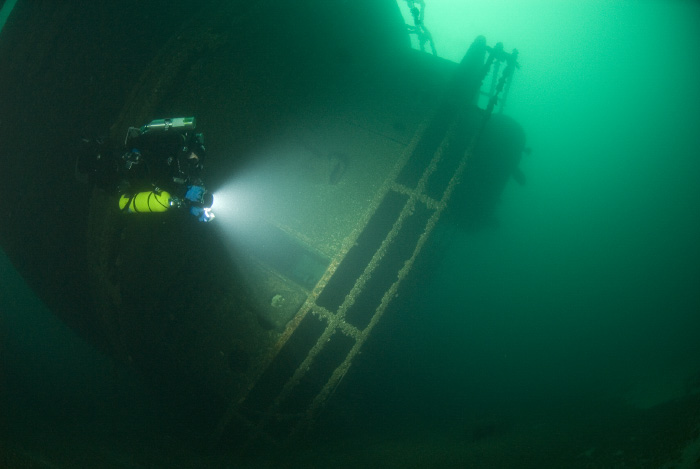
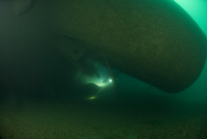
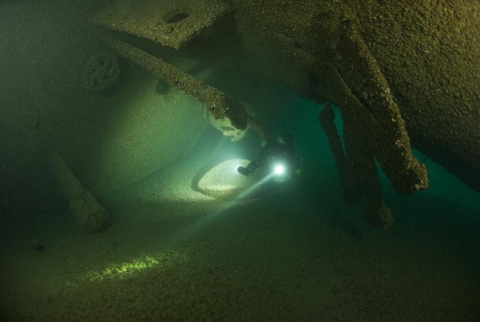
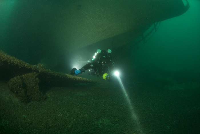
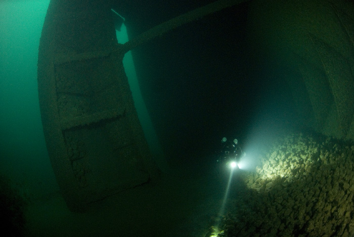
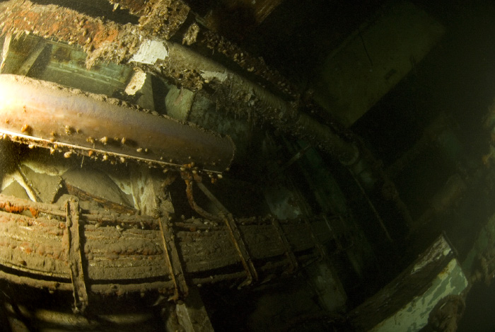
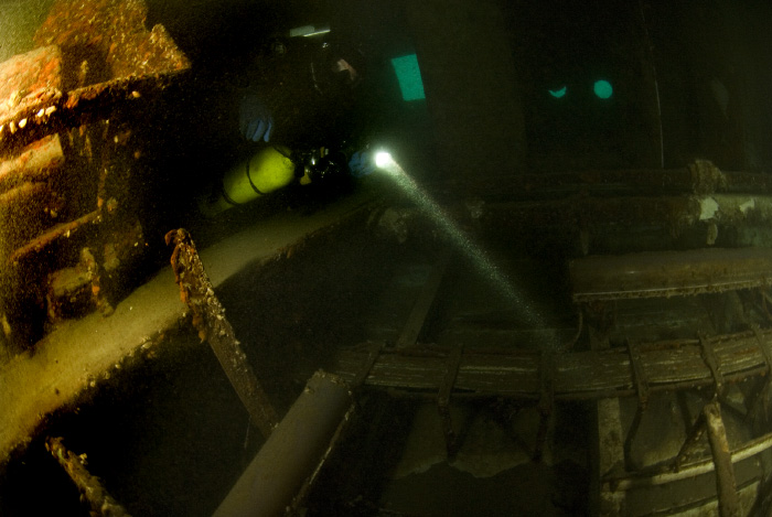
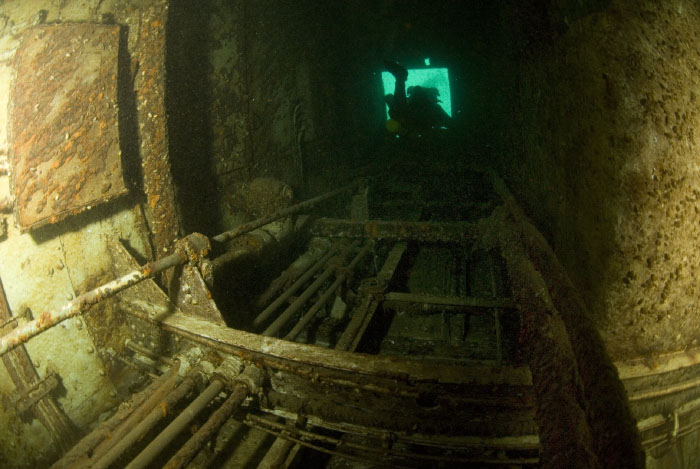
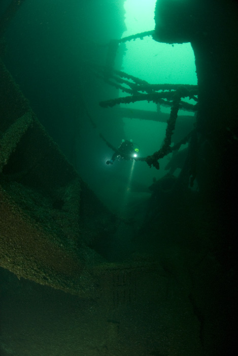
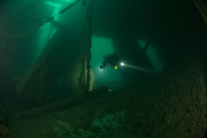
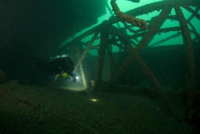
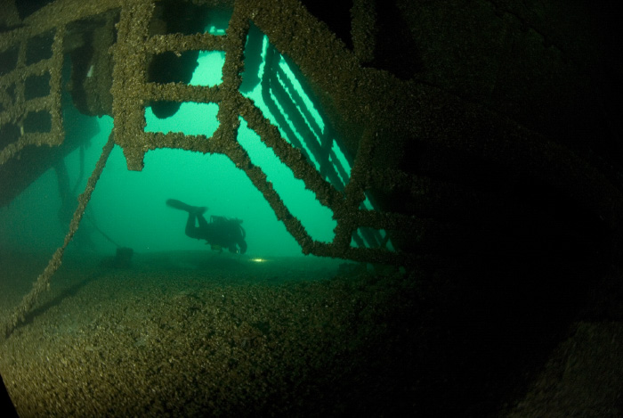
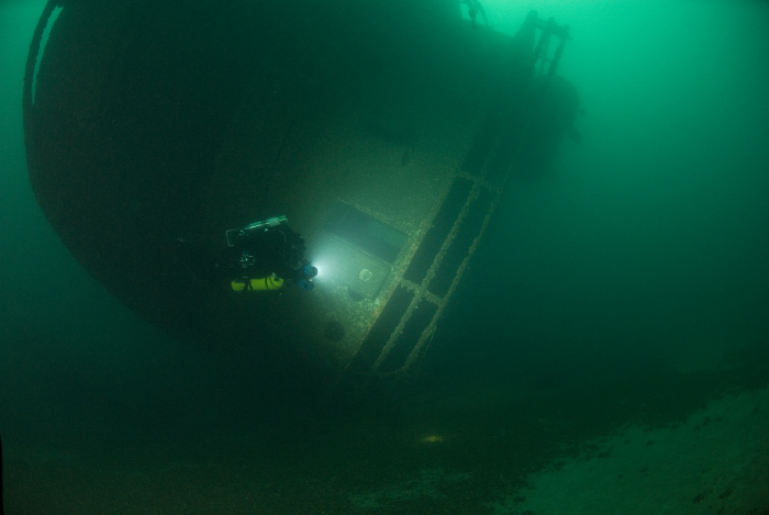
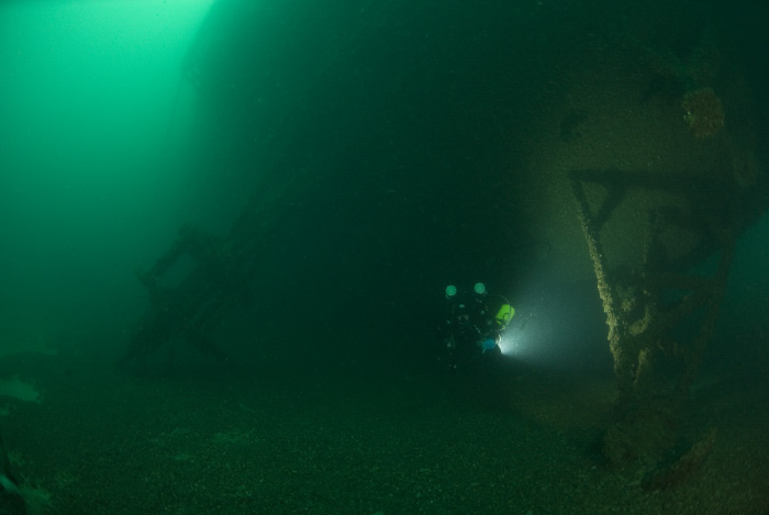
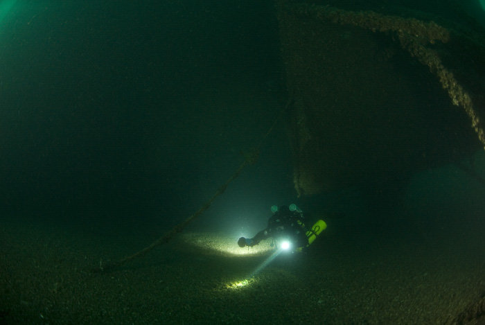
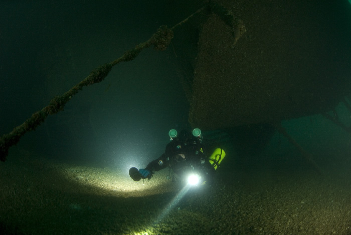
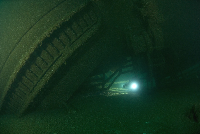
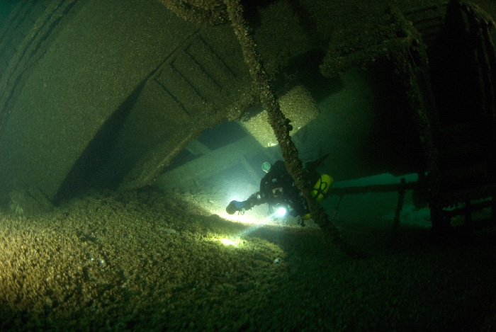
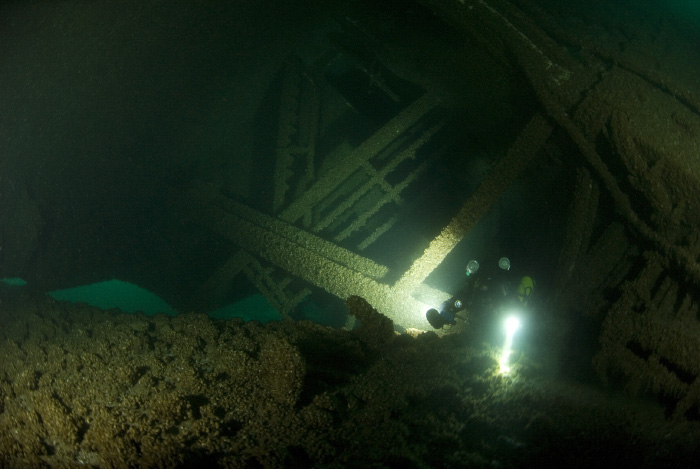
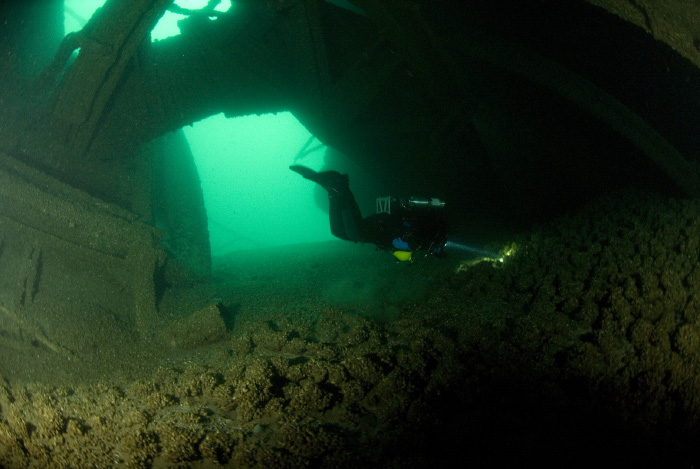
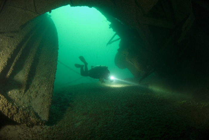
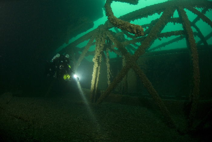
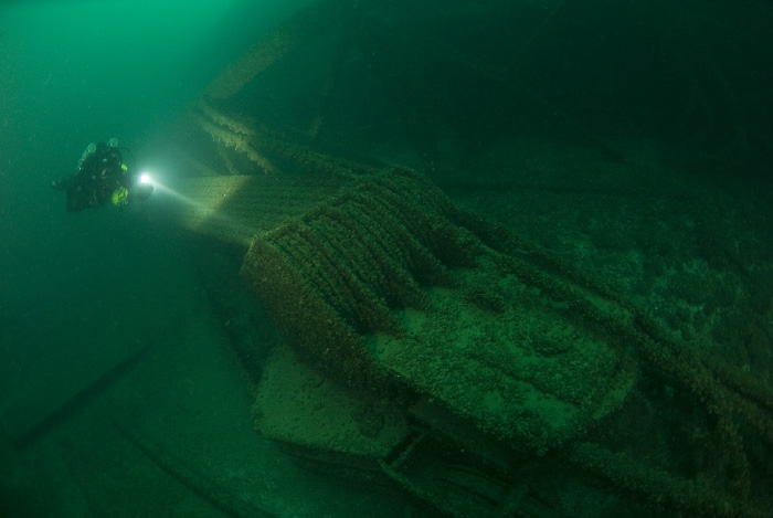
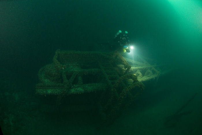
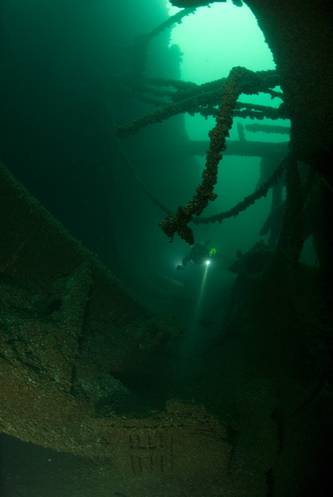
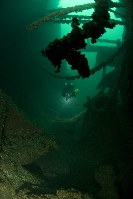
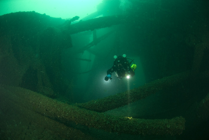
Today, Cedarville is an incredible shipwreck to dive. She is almost broken in half, with collision point very obvious (see below). She lays on a starboard side, severely tilted so that she is almost upside diwn. There are ample penetration opportunities, with engine room easily accessible but very disorienting due to vessel's position.
Visibility ranges depending on the current and storms in the area. I have seen 10 to 50 ft.
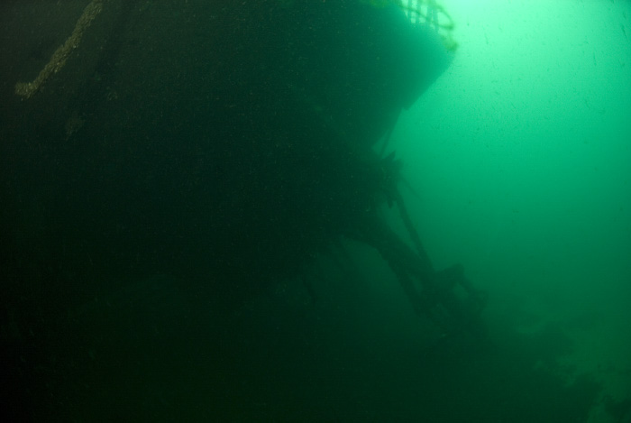
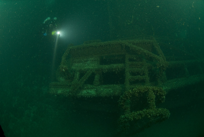
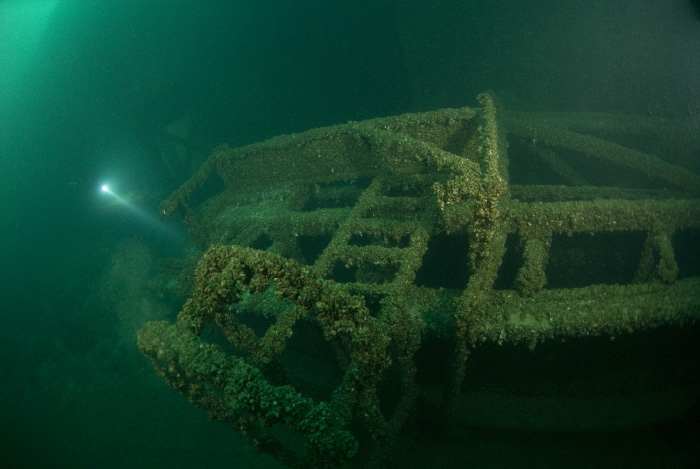
Bow
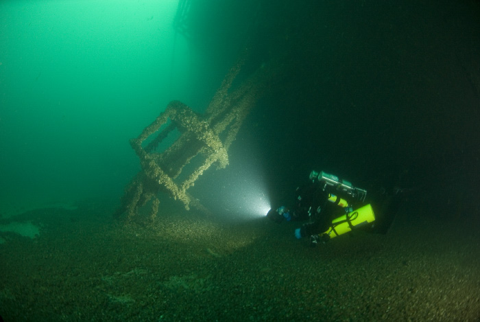
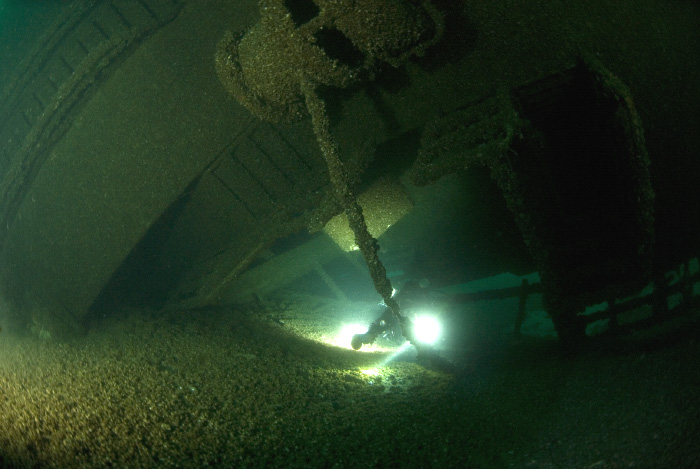
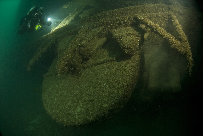
Self-unloading boom and other structures
Collision hole

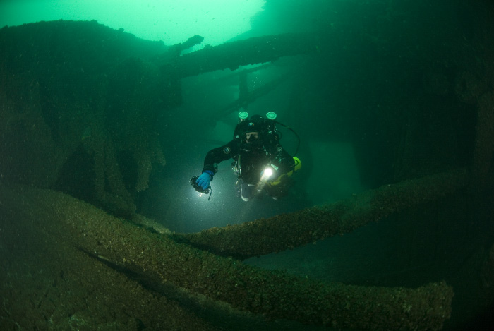
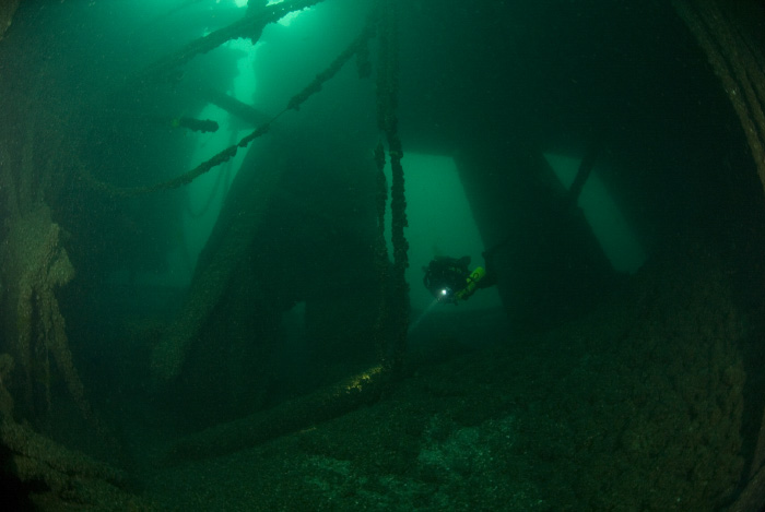
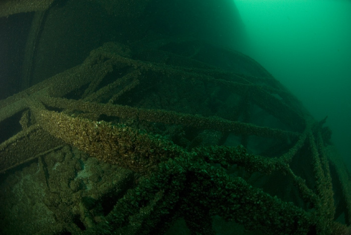
Stern, cargo holds and engine room